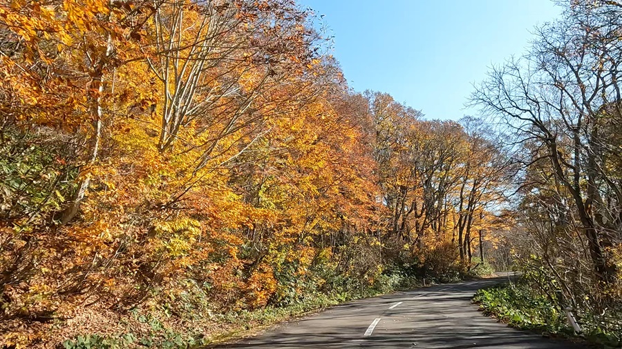
Right after returning from my recent touring on Route 341 in Akita Prefecture, I decided to head out again, as the autumn leaves in this area were probably nearing their peak. So, I set off for Mount Kurikoma.
Mount Kurikoma sits across three prefectures: Iwate, Miyagi, and Akita. If you’re coming from Sendai, the usual route would be to take the Tohoku Expressway and exit at the Furukawa IC. From there, head west on Route 47, and near Iketsuki, you’ll find the “A・Ra・Date-na Michi-no-Eki” (A-la-Date Roadside Station). From here, take Route 457 for the mountain pass, then head towards Akita on Route 398, eventually turning onto Prefectural Route 282 to reach Mount Kurikoma. Alternatively, you can head north to Ichinoseki IC, then approach via Route 342.
If efficiency is the priority and you want to reach Mount Kurikoma as quickly as possible, the first option would be the way to go. But sometimes, taking a detour and embracing inefficiency is part of the joy of touring. It’s like how rail enthusiasts, while knowing the fastest way to get from point A to point B with a timetable in hand, sometimes choose the slower, more scenic route just to enjoy the journey (though, I apologize if I’ve oversimplified that analogy).
So, for this trip, I chose the latter option. I would be using Route 342, but the journey to Ichinoseki would take me down back roads.
If I were to start from the east side of Sendai Station, I’d typically head east on Route 45. However, I quickly veered off onto Prefectural Route 8, heading east. Route 8 intersects with Route 4, and if I were using a GPS, it would prompt me to turn left. But I ignored that and kept going straight.
Along the way, I passed by the Aeon Mall Shin-Rifu, which crosses over the prefectural road, and kept going. Eventually, the road split into two major routes, and I took the left fork.
I continued along the route, which recently passed near a newly opened Trial store. Fun fact: this area is also home to the Miyagi Prefectural Police’s mobile center, with plenty of white motorcycles and highway patrol cars passing through, so it’s wise to be cautious.
While the GPS would probably recommend taking Route 346, I personally suggest aiming for the “Michi-no-Eki Oosato” (Roadside Station Oosato) via Prefectural Route 40. If time allows, you could even take a quick break here.
From Michi-no-Eki Oosato, I continued on Prefectural Route 9, then onto Prefectural Route 241, heading northeast past the Oogou Town Hall. Eventually, Route 241 merges with Route 346, and I continued via Prefectural Route 61, eventually reaching Route 342.
The road is wide, and with fewer cars than on the bypass, there’s little risk of congestion, making for a relaxing ride without the stress of traffic.
But, as expected for November, even after 10 a.m., the temperature still hadn’t warmed up, so I couldn’t resist stopping at a convenience store to buy some chocolate.
I warmed up with the coffee I had brought from home.
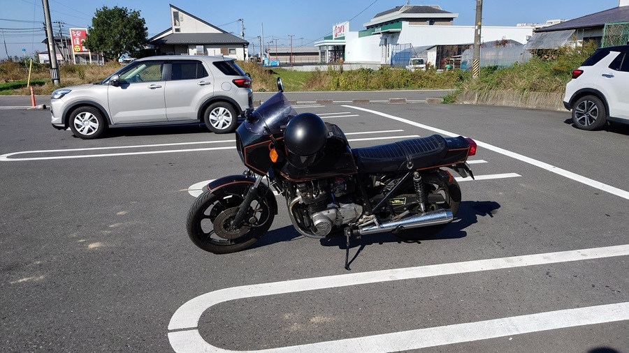
I should have packed my overpants in the tank bag. My fingertips were freezing with the leather gloves. I started wondering whether I should head back, but I decided that if it was still tough once I reached the base of the mountain, I’d turn around without pushing myself.
Even though I was heading north, the temperature started rising as time passed.
It seemed like that forecasted high of 20°C wasn’t a lie after all.

Once I entered Ichinoseki City, the cold I had been feeling suddenly felt like a lie—it was like spring, with a pleasant warmth in the air.
It would be great if it stayed this warm even as I went into the mountains.

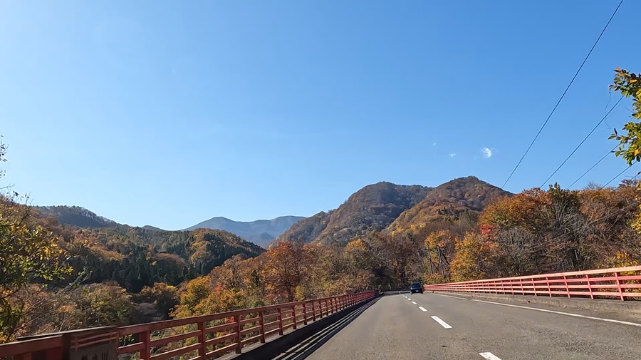
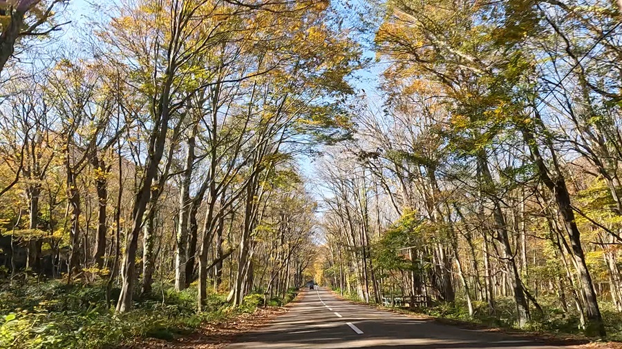

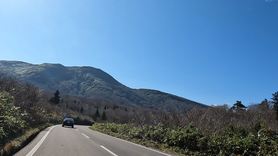
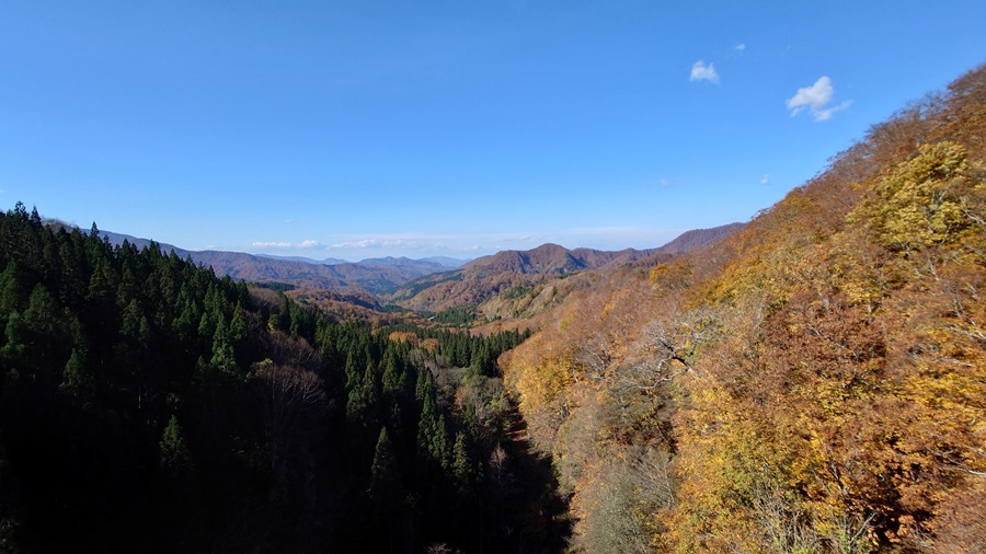
Once I reached the bottom of Prefectural Route 282, all I had to do was turn left onto Route 398 and head back.
But since I still had some time, I decided to stretch my legs and head west for about 10 km to Oyasukyo (Oyasu Gorge).
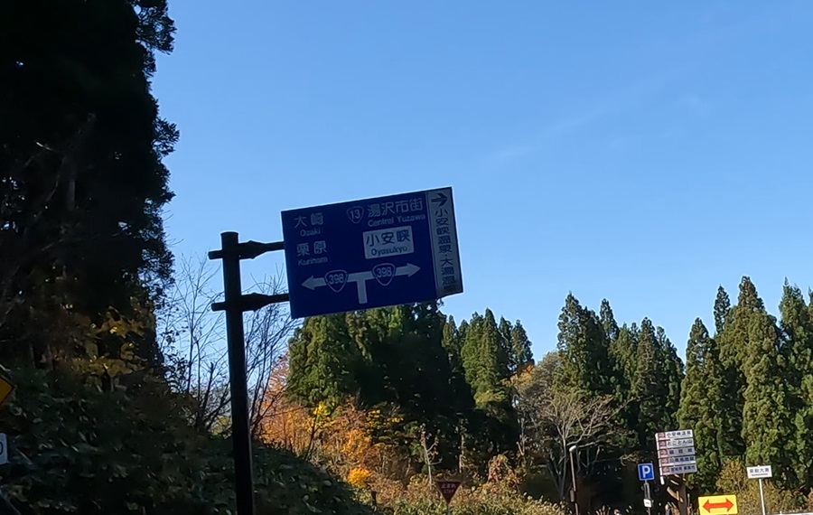
The winding road that continues from the keyaki bridge after the junction is something special.
The curves aren’t too sharp, and the road is wide enough, so even riders who aren’t super confident behind the handlebars can still enjoy it.
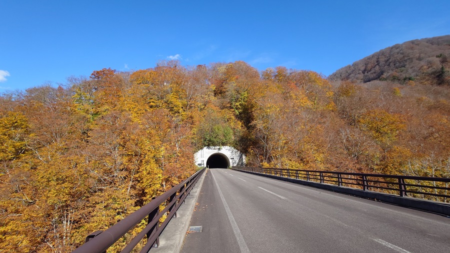
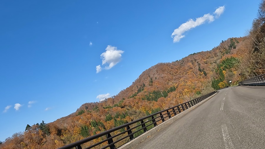
If you’re riding a bike, this area is probably more enjoyable than Mount Kurikoma itself.
I even saw some riders making multiple trips back and forth on this road.
I totally get why—they’re having a blast!
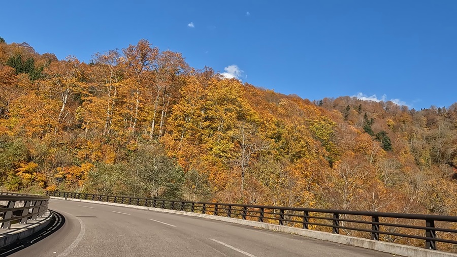
Oyasukyo offers stunning views that are truly a treat to enjoy
Oyasukyo is famous for its deep gorge carved by the Minegawa River over many years, along with the hot springs that bubble up from the valley floor. With the autumn foliage, the views should have been stunning.
However, when I got there, it was incredibly crowded. The parking lot by the restroom (which usually has plenty of space and is the entrance to Tokoton-yama Campground) was completely full. Even the parking lot for the nearby tourist and product center was overwhelmingly packed.
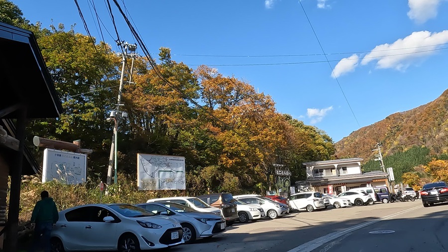
There’s a path leading to the Minegawa River’s walking trail from across the road from the parking lot, but it requires descending a fairly steep staircase.
Since the stairs were crowded as well, I decided to simply admire the gorge from the bridge this time.

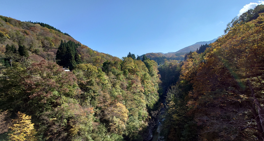
The last time I visited here was in the middle of summer.
When the leaves change color, it really brings out a whole new dimension to the scenery.
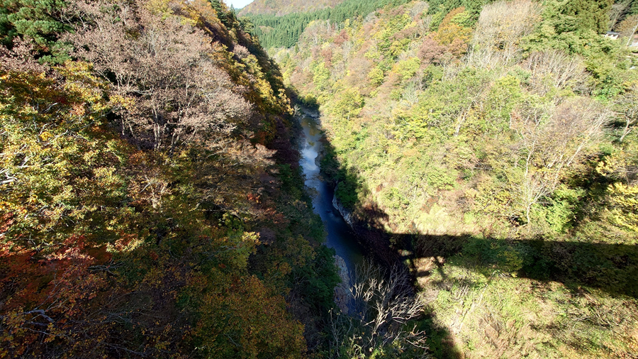
Looking straight down from the bridge, it looks like this… but I know the beauty doesn’t really come through in the photo.
The picture below is from a previous visit when I descended to the walking trail.
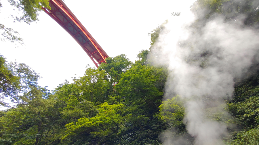
You can see steam rising like this.
It’s quite a strange and fascinating sight.

Despite hot water bubbling up from various spots, it’s strange that fish are still living in the river.
It’s quite a fascinating contrast.
From Oyasukyo, I headed to the “Michi-no-Eki Ro-Ta-ri Hanayama” (Roadside Station Rotary Hanayama).
Though I’m not a big fan of retracing my steps, I decided to head back the same way.
But thinking about getting to ride that winding road again wasn’t so bad after all.
Plus, for a heavy bike, riding uphill is actually more relaxed than going downhill.
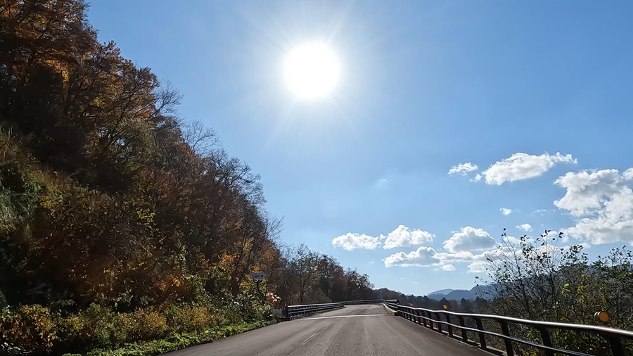
It shows a completely different side when you’re going uphill.
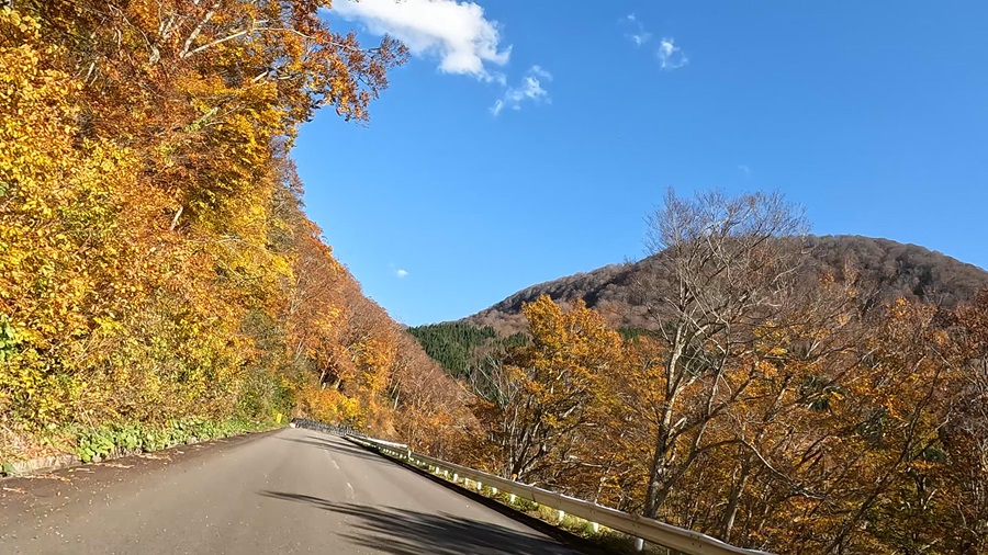
After riding for about an hour, I arrived at “Michi-no-Eki Ro-Ta-Ri Hanayama.” Normally, I’d take a break before entering Mount Kurikoma, but this time, I decided to rest only after finishing the mountain pass. Honestly, this feels like the more proper way to do it.
On the way back, I avoided traffic and used Route 457 as my base to head toward Sanbongi. Once I got around here, it was all familiar backroads leading me home.
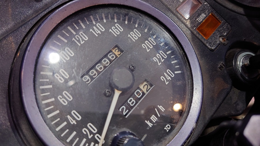
The odometer is almost at a full circle. But this is actually a secondhand meter I pulled from somewhere after the one I was using broke. The engine has been overhauled, and the frame has been completely torn down, so it doesn’t really matter much, to be honest.
No matter how many kilometers I ride or where I go, the goal is always the same: return home without a scratch. I’ll keep adding to this record until I retire this bike.
Of course, riding safely goes without saying, but the most important thing is just to survive the ride!
