How many times have I done this now? Third time, maybe?
A full end-to-end touring ride on a national route.
This time, it’s Route 341.
It runs from Yurihonjo City to Kazuno City in Akita Prefecture, passing by the famous Tazawako Lake along the way.
As always, the real challenge isn’t just conquering the route itself, but making it to the starting point and then getting back home.
Hopefully, this time I can finish the ride without any trouble!
The chaos started even before the ride
Thanks to having plenty of work lined up, the trip originally planned for September kept getting pushed back—partly because of bad weather, too.
I was checking the weather forecast and temperature every day, and finally, this day seemed like the perfect chance.
I got everything prepped in what little spare time I had, and just before heading out, I figured I’d be smart and check the tire pressure.
That’s where my luck ran out.
I pressed the air gauge onto the valve, and suddenly—pshhh—air started leaking out.
“What? What’s going on?”
The valve core wouldn’t snap back.
Panic mode activated—I started poking the valve with my finger, but the air kept escaping.
I grabbed a pointy tool and fiddled with it, and finally, the leak stopped.
Just to be safe, I dabbed some soapy water on it—and a bubble slowly started forming.
A slow puncture.
If this were a YouTube video, the screen would be filled with a giant “GAME OVER” caption.
It would have been the end of the ride before it even began.
I poked the valve around a bit more and slathered on some more soap, and somehow, it seemed to stop.
Terrifying.
Way too terrifying.
I waited a few minutes and tried the soapy water again—no more bubbles.
Well, I guess that’ll do.
I’ll just start riding, and if it turns out to be no good, I’ll call it off.
The chaos didn’t stop once I hit the road
I set off, feeling nervous as hell.
I’ve never actually had a puncture while riding, but I still remember that time 30 years ago when I bought this bike and ended up with a front tire issue—riding to the bike shop with a pump in hand.
If something’s wrong, I should notice it pretty quickly.
I figured I’d ride for a bit and then check the air pressure when stopping for gas…
But when I reached for my wallet in my back pocket—
It’s not there!
Not that I dropped it or anything—I just left it behind.
Panicked, I made a quick U-turn back home.
Since I was there anyway, I tossed the tire repair kit into my bag, which I had forgotten to pack earlier (classic).
Checked the air pressure while I was at it—everything was fine, even a little higher than normal from the riding heat.
Lucky break, but I lost more than an hour.
No choice but to make up for lost time by hitting the highway on my second attempt.
Route 108 in the Heart of Autumn Colors
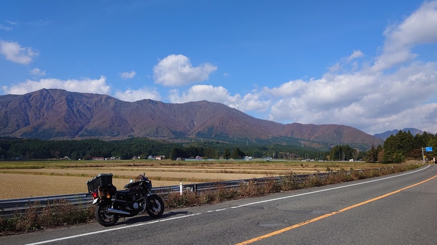
After getting off the highway, I jumped onto Route 108, which runs east to west, connecting Miyagi and Akita.
My goal: the starting point of Route 341.
Passing through Naruko Onsen Village, I cruised along a gentle mountain pass.
Compared to Route 398 that runs over Mount Kurikoma to Akita, this route feels a lot milder.
Since it’s almost November, I was half-expecting the autumn leaves to be long gone and to be kicking myself for not coming earlier.
But to my surprise, the colors were still at their peak—couldn’t have timed it better.
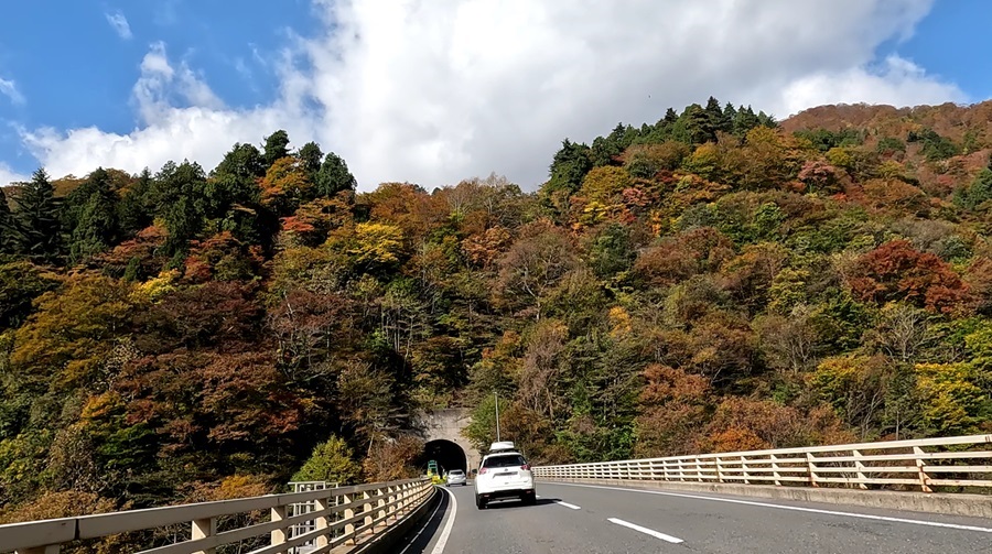
Some people say that global warming is a lie or that the Earth is actually cooling, but one thing’s for sure—the seasons are definitely shifting.
It took me about three hours from the start, but I finally made it to a mini-destination: Yajima Town, Yurihonjo City, Akita Prefecture.
The whole reason I planned this Route 341 trip in the first place was because I wanted to visit this town.
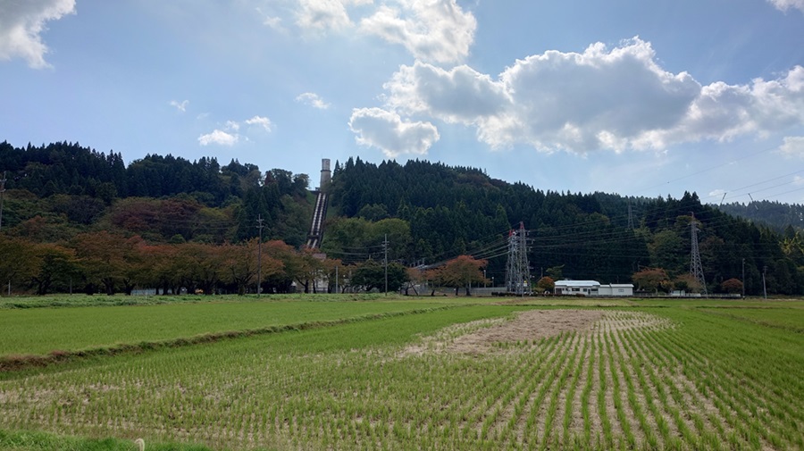
I’ll definitely come back during cherry blossom season for a proper visit!
It’s located in the northeastern part of Mount Chokai and was incorporated into Yurihonjo City after the municipal merger, but it used to be an independent municipality called Yajima Town.
There’s also a local train station that serves as both the start and end point of the Yuri Kogen Railway.
If you’re into places that feel like they’re on the edge of the map, this town’s got that vibe, right?
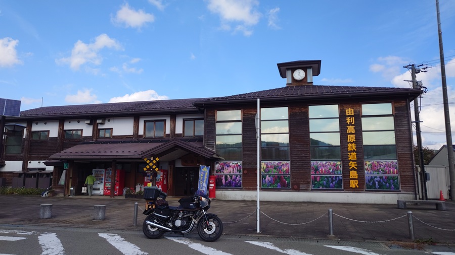
The station building is impressive, and the hospitality aimed at tourists is top-notch.
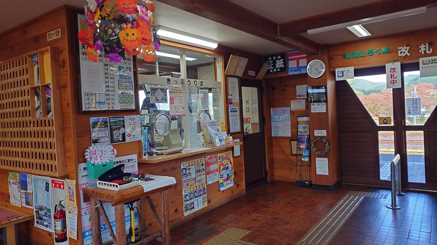
There’s even a café inside.
It’s way too nice to just pass through without stopping.
Next time, I definitely want to take my time exploring this town—and hop on that local train, too.
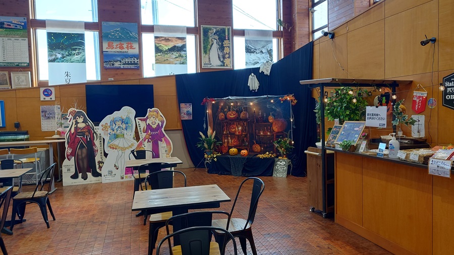
So, I was starting to get hungry, so I figured I’d take a break for lunch.
Eating while traveling is always a bit of a gamble—pick the wrong meal, and it can ruin the whole trip.
What should I order this time?
By the way, that show “Meikyu Gourmet: Ikyo no Ekimae Shokudo(Labyrinth Gourmet: Hidden Station Eateries)” got canceled, didn’t it?
I really wish they’d bring it back, even as a quarterly special.
This time, I chose a place called Daikokuya.
It’s a ramen shop that seems to be run by what I’m guessing is a husband-and-wife team.
I say “guessing” because one time I wrote “husband and wife” in a post, and later a family member told me, “Actually, they’re not a couple.” (Whoops.)
So, let’s just go with “presumed couple” for now.
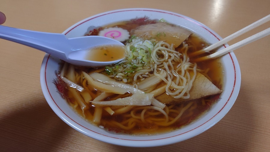
I ordered the chuka soba.
It’s like the quintessential ramen—the kind of flavor that probably 80% of Japanese people picture when they think of ramen.
It just hits the spot after riding non-stop.
It’s almost a miracle that you can still get this for just 500 yen, even though it’s been over five years into the Reiwa era.
Honestly, I think ramen shop owners should become filthy rich—building at least two mansions and driving luxury cars as a tax strategy.
So, why not just jack up the prices across the board?
And in exchange, the government can issue ramen vouchers to poor folks like me.
Sounds fair, right? (lol)
Route 341 – Start
Drive about 30 minutes west from Yajima Town on Route 108, and briefly merge onto Route 107. You’ll reach a junction with the north-south highway running through the heart of Yurihonjo City—this is not only the starting point of Route 341 but also the endpoint of both Route 108 and Route 107.
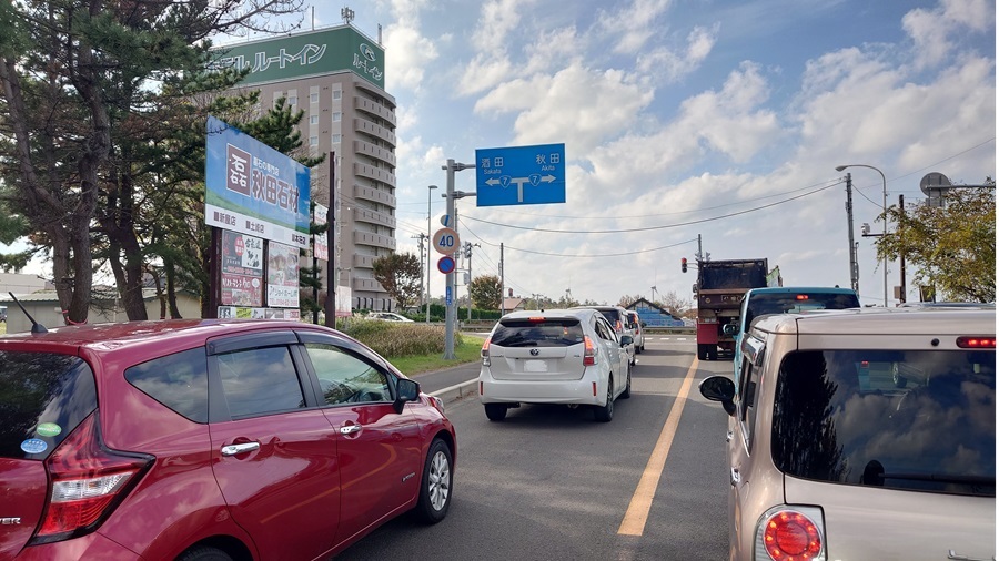
That’s just how it’s marked on the map—in reality, the actual starting point of Route 341 is a bit further along the coast.
Still, since I’m already here, I’d hate to skip out on the official starting point, even if it’s just a technicality.
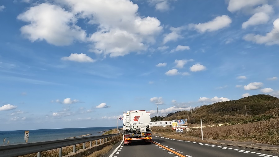
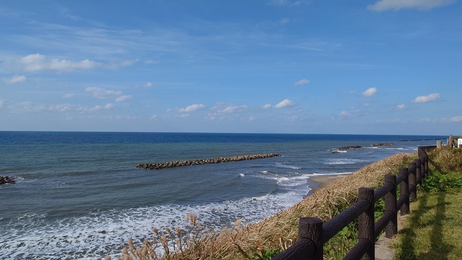
I ride along the Sea of Japan coast almost every year, and it always feels like the ocean is right there beside me.
Around here, in the Kameda district, is where Route 341 really starts for all practical purposes.
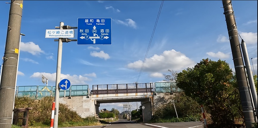
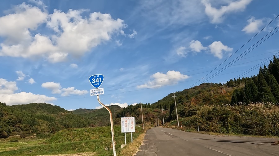
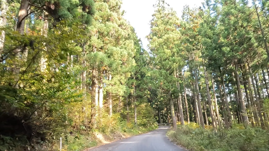
Once you pass through Kameda Town, where the old castle town vibe still lingers, the road suddenly narrows into a steep, winding mountain path—not exactly what you’d expect from a national highway. This route looks pretty rough for cars.
Since it’s my first time here and I’m loaded down with gear, I keep three things drilled into my head when riding these kinds of roads:
- There might be oncoming traffic.
- There could be loose sand on the road.
- The surface might be slick with mud.
Especially as a solo rider, I can’t afford to get stuck without help, so safety comes first—even if that means creeping along at a snail’s pace.
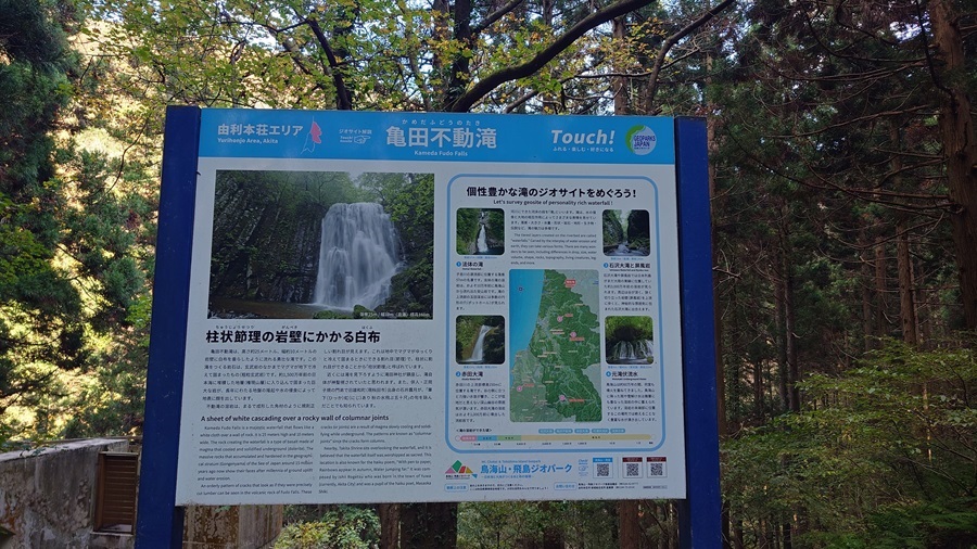
Kameda Fudo Falls
Suddenly, a parking sign pops up—”Kameda Fudo Falls.”
Well, since I’m here, might as well take a quick look.
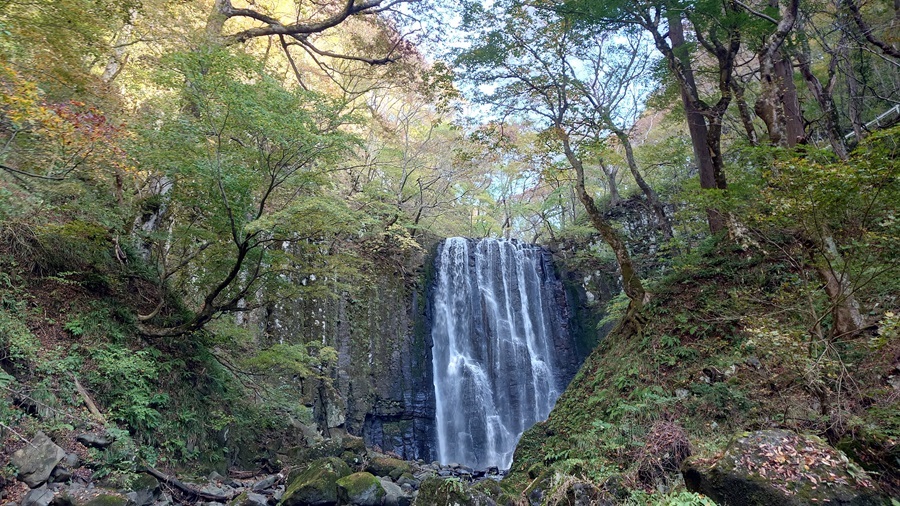
A few minutes down a set of stairs that feels somewhere between a walking path and a hiking trail from the parking lot, I find a quaint little riverbank.
Upstream from there is Kameda Fudo Falls.
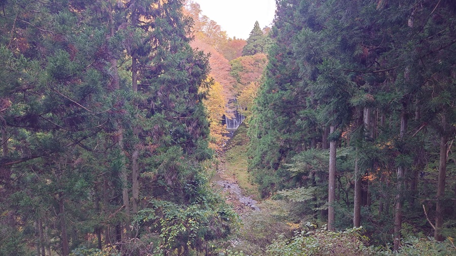
If you’re not up for the trek down, you can still catch a view from a bunker-like building near the parking lot (turned out to be a restroom). Honestly, that’s not a bad option either.
Watch out for the junction—it’s easy to miss.
Partway up the trail toward Mt. Yuwa-Takao, there’s a spot called Takao Sanso where the path splits in two. The right side looks more open and seems like it would be Route 341, but actually, the correct path is the one that descends alongside Takao Sanso.
Just as I’m double-checking the right route…
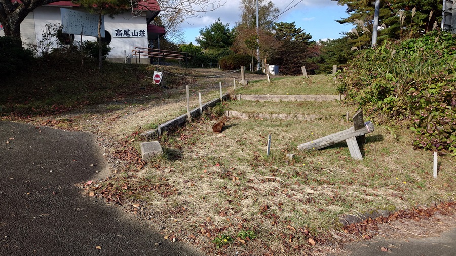
Huh? Is someone there?
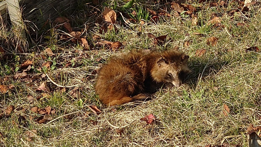
It turned out to be a wild tanuki pup. I’ve seen plenty of them lying dead on the road, but this was my first time seeing one alive.
The little guy wasn’t even fazed by the rumble of my Z1R’s exhaust and just started napping right there.
Still, I really hope they learn to be more cautious around cars and bikes—one wrong move, and they’ll end up roadkill.
From here, it’s a downhill stretch.
The road is littered with fallen leaves, and some parts aren’t exactly smooth, so I take it slow and careful.
At the bottom, there’s “Ishinomaki no Shimizu,” a spring where I scoop up some of the fresh mountain water flowing down from Mt. Takao.
Once I’m through the pass, I’d say the first half of Route 341 is done.
Up ahead, the road merges with Route 46, becoming a main line toward Kakunodate and Semboku City.
Once I hit Semboku, today’s goal is practically within arm’s reach.
Tazawako Campground
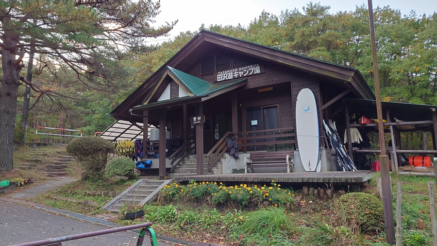
Tonight’s lodging. I was hoping to arrive around 2 o’clock, but one trouble after another delayed me, and I finally checked in around 4.
Just barely made it before sunset.
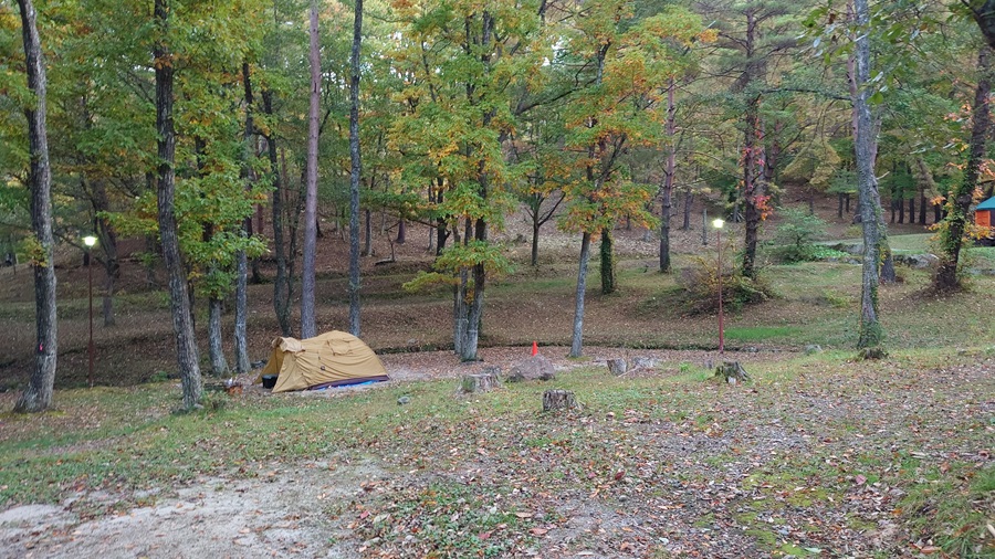
Tonight’s accommodation. Originally, I was aiming to get here around 2, but one mishap after another meant I didn’t make it to check-in until around 4—just in time before sunset.
I had planned to stop by a supermarket on the way to pick up dinner ingredients, but I figured if I did that and ended up setting up camp in the dark, it’d be a real hassle. So I prioritized checking in and pitching the tent first… which is why the photos were taken the next morning (laughs).
Once the tent was up, I rushed back to the supermarket to grab dinner supplies. I tossed the food into the tent and then grabbed my backpack, which I’d already packed with a change of clothes, and headed straight toward Akita-Komagatake. I was in such a hurry that I thought I bought a barbecue set with beef, pork, and chicken, but when I looked later, it was just three types of pork. Oops.
So, why was I rushing into the pitch-black mountains? For a bath, of course. I was heading to a hot spring that a friend had recommended.
The place was called “Motoyu Mizusawa Sanso,” a natural hot spring flowing straight from the source. Apparently, on a clear day, you can overlook Lake Tazawa from the outdoor bath, but by the time I got there, it was completely dark. No photos, unfortunately (laughs).
The day-use hot spring costs 800 yen and is open until 8 p.m., which is super convenient.
There are both hot and warm indoor baths, plus an outdoor one, so I took my time soaking while guessing that the lakeshore was probably somewhere out in that darkness.
After the bath, I didn’t waste any time getting back to camp.
Fired up the grill with the meat I bought, threw together a bubbling pot of Akita’s famous kiritanpo hot pot, and cracked open a cold beer.
Now that’s camping done right.
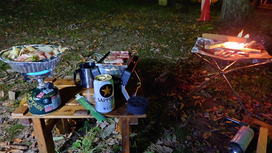
This time, the real MVP was my portable fire pit. Believe it or not, this was the first time I actually brought my own fire pit on a touring trip.
I mean, a stove is essential for cooking, but you can technically get by without a campfire, right? Plus, you’ve got to gather firewood, and you’ll need an axe to split it down to size.
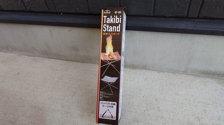
But recently, I stumbled across an item that looked like it might actually be easy to carry around.
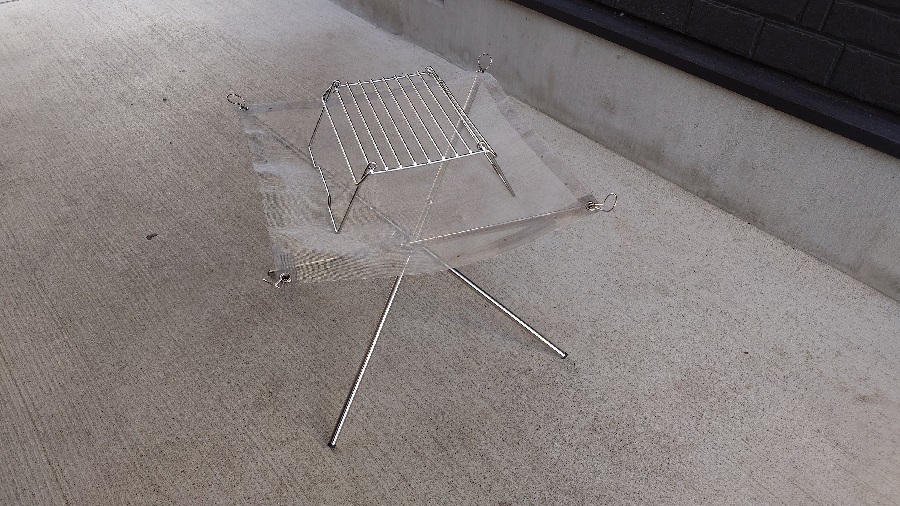
As the product description says, it packs down into a compact size—just about 44 cm when stored in its bag.
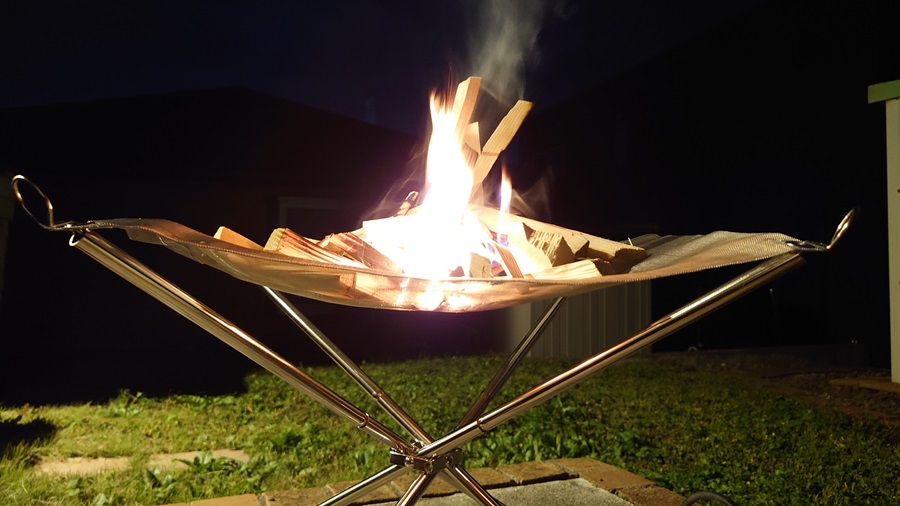
Since I went to bed around 8, I ended up waking up at 2 in the morning (laughs).
The empty campground felt a bit unsettling—though I found out the next morning that the staff were actually staying overnight in the management building.
I wandered out to the lakeshore, where the world was dead silent. At that eerie hour, the pitch-black lake stretching out before me was more than enough to give me the chills—like a haunted spot with extra change left over. But at the same time, it felt like I had the whole night to myself.
I strained my ears, but there were almost no human-made sounds—just pure, unbroken silence. Above me, the sky was overflowing with stars.
I tried to snap a photo with my smartphone, but it didn’t turn out too well. In the picture below, you can just barely make out Orion—can you see it?

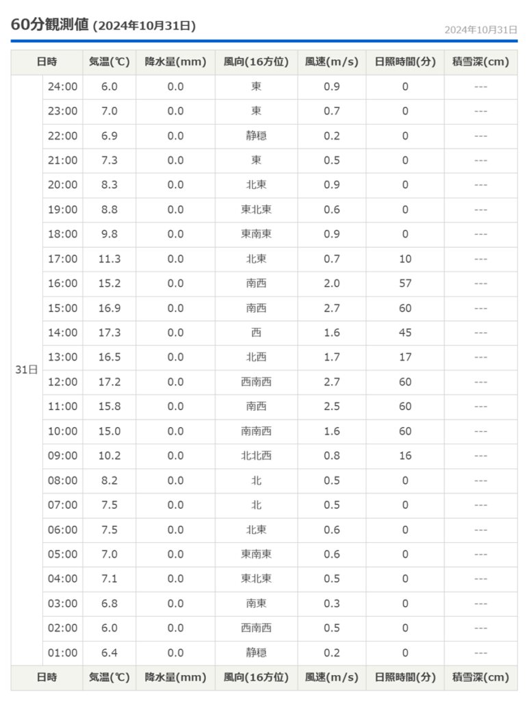
How was the weather on October 31?
In the middle of the night, I wandered around in thin pants and a fleece I was using as sleepwear. It felt a bit chilly, but nothing too uncomfortable.
According to tenki.jp, the temperature on October 31 hit a high of 17.3°C and a low of 5.8°C. Even after sunset, it was still close to 10°C, which explains why it didn’t feel too cold.
Today’s total distance traveled
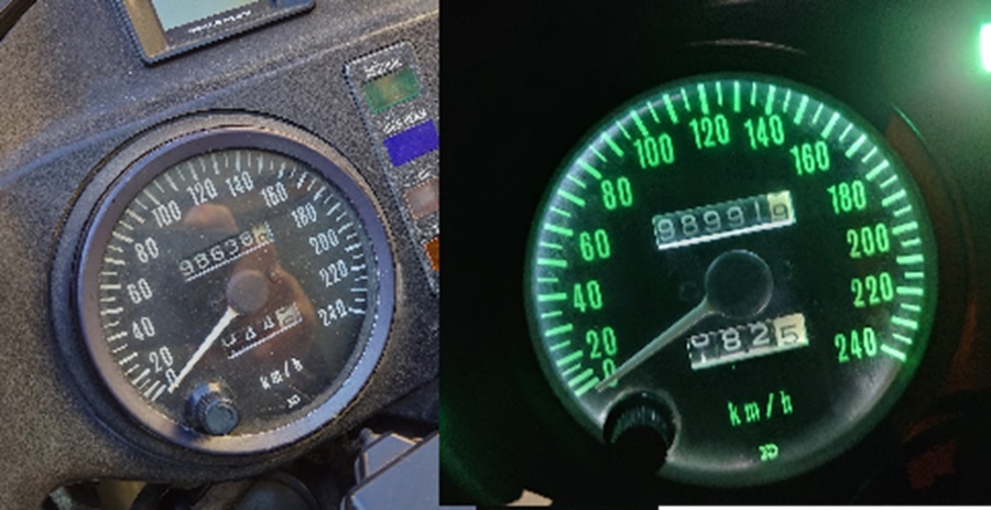
Starting mileage: 98,638 km
Arrival mileage: 98,991 km
So, that makes it 353 km for the day.
To be continued in the next part—featuring more touring stories and a look at my gear!


