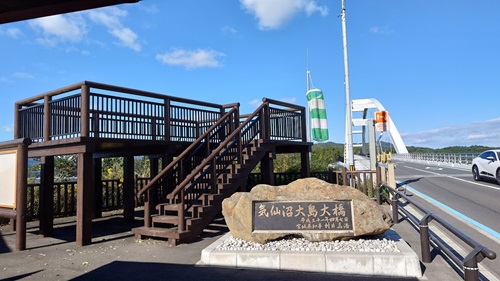
It’s been one of those stretches where it’s rainy on my days off and sunny when I’m stuck at work.
Somehow, just like that, we’re already halfway through October.
Originally, I had a three-day touring trip planned, but waiting around for good weather just means the temperature keeps dropping.
So, I decided to pull out part of the original route and make it a day trip instead.
No sense letting the whole plan go to waste!
Karakuwa Peninsula
About 20 years ago, when I came here for work, it felt insanely far away—like a solid 4-hour drive from Sendai.
To put that into perspective, 4 hours on the highway from Sendai could get you to Kawaguchi or even Aomori.
But thanks to the Sanriku Expressway opening up, it now takes less than half that time.
This time of year, you’d usually expect to find freshly harvested oysters, but in recent years, the scorching summers have messed up the growth conditions, and they’re still holding off on shipments.
At the tip of the Karakuwa Peninsula, there’s the Karakuwa Peninsula Visitor Center.
What really caught my eye from a touring rider’s perspective was the Misaki Campground.
It just has that vibe that makes you want to set up camp and soak in the views.
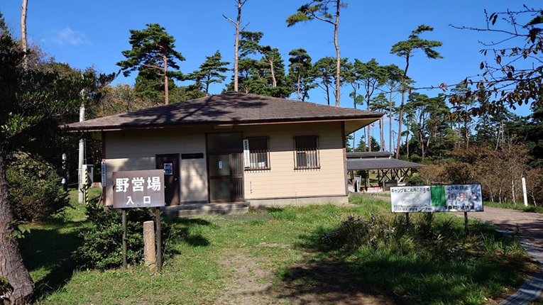
There was no manager around when I visited, but the facilities themselves looked pretty impressive.
It’s definitely a well-maintained spot, even if it was a bit quiet when I got there.
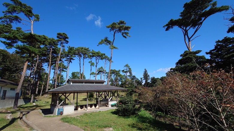
The place has proper toilets and cooking facilities, and the overnight fee is just 450 yen—that’s an absolute steal.
However, there don’t seem to be any shops nearby, so if you’re planning to stay the night, it’s best to stock up on supplies in Kesennuma City before settling in.
Across from the parking lot, there’s the Visitor Center, which features info about local trekking courses.
It’s also part of the Michinoku Coastal Trail, so it’s a great spot for hikers too.
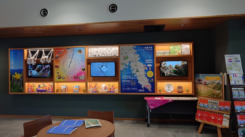
Since I made it all the way here, I figured I might as well head to the cape’s tip.
To get there, it’s best to move over to Misaki Shrine first.
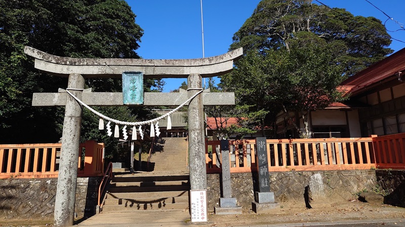
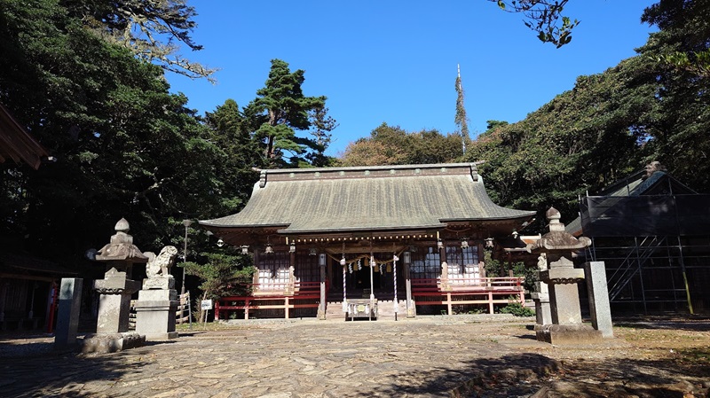
After paying my respects at the shrine, I set off for the tip of the peninsula.
Personally, it was a little tricky to figure out at first, but if you head towards the Misaki Lighthouse, you’ll eventually make your way to the very tip of the peninsula.
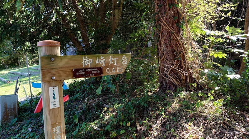
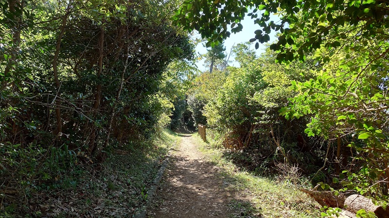
As you pass through the tunnel of trees, this stunning view opens up before you.
The rugged, rocky terrain adds a nice touch to the scenery.
If you’re confident in your footing, you can even climb over the rocks to reach the very tip of the tip.
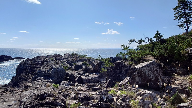
The contrast between the rugged, desolate rocks and the sea is really striking.
As always, my photography skills still leave much to be desired, though!
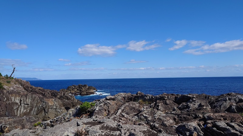
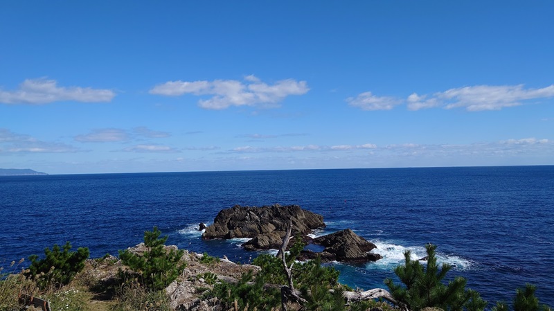
It was a cold day, but the wind was calm.
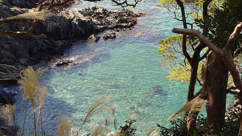
There were spots along the road where you could look down at the sea, and I was honestly amazed at how clear the water looked.
KISSA MAMBO (Cafe Mambo)
I was getting hungry, so I decided to head over to the center of Kesennuma City.
It looks close on the map, but even on the bike, it took about 30 minutes to get there.
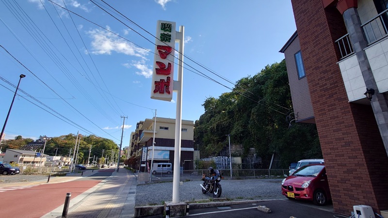
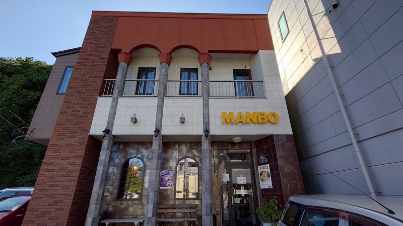
I was recommended “Kissa Mambo” by a biker friend.
The place has a retro logo and a nostalgic exterior.
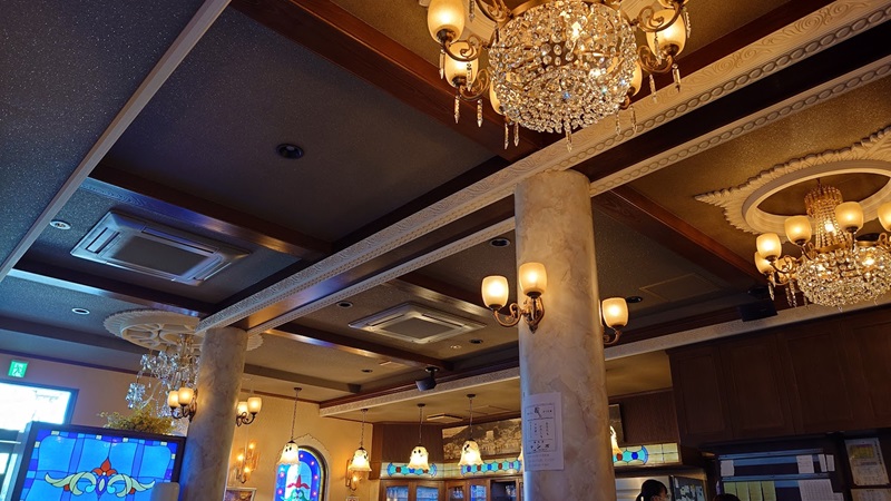
The interior is just as retro, with a vibe that takes you straight back in time.
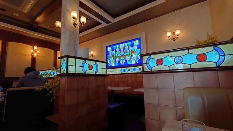
Although it’s called a kissa (coffee shop,Cafe), the menu is quite extensive.
This time, I decided to try…
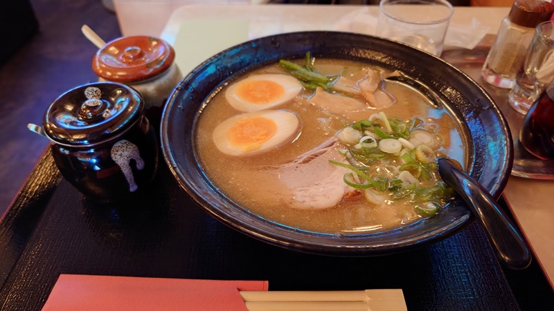
I went for the chicken white broth ramen.
Originally, I wanted the “all toppings” version with a flavored egg and double char siu (1,350 yen), but it was already sold out, so I settled for just the flavored egg.
The slightly rich broth was exactly what my chilled body needed—it really hit the spot.
After resting and recharging, I was ready to head over to Oshima next.
Kesen numa Oshima
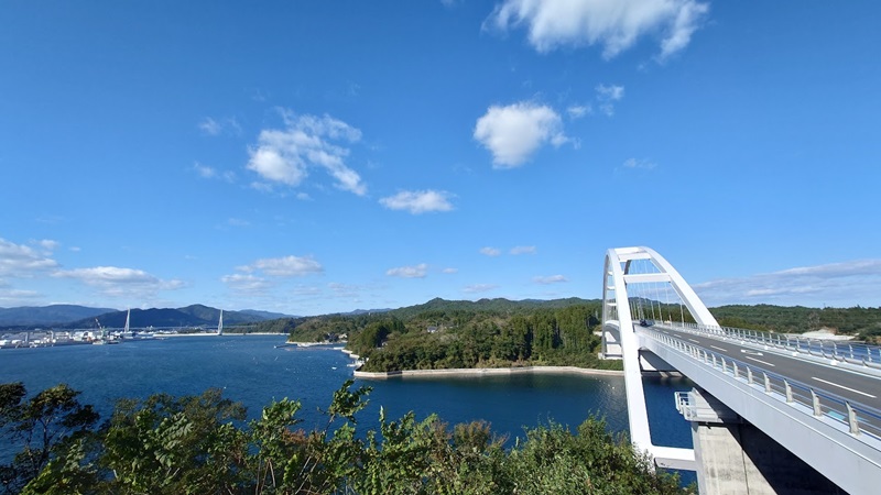
It’s only a short distance away, but Oshima used to be accessible only by ferry.
Since the Kesennuma Oshima Bridge opened in 2019, it’s now possible to travel freely back and forth.
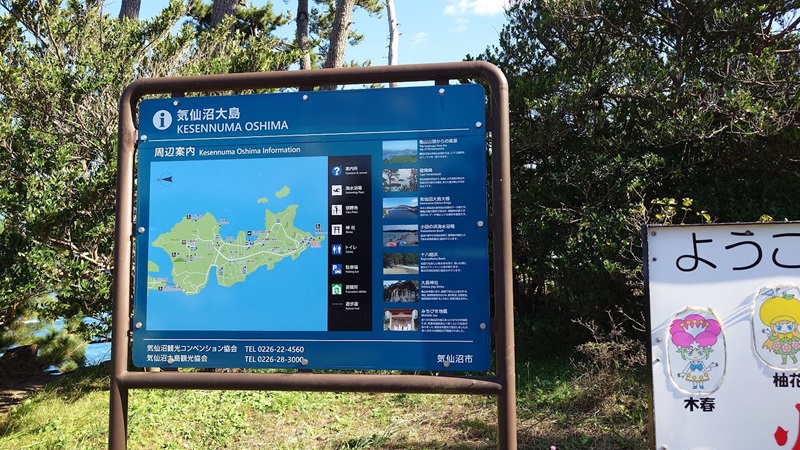
So, I decided to head to the tip of Kesennuma Oshima, all the way to Ryūmai-zaki.
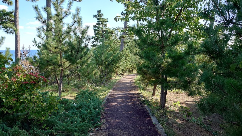
The approach here is well-maintained, making it much easier to get to.
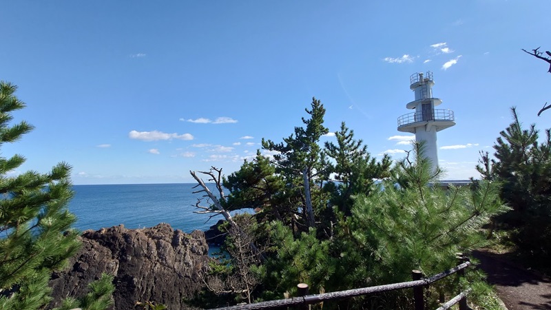
Once the lighthouse comes into view, you’re just a little bit away from the very tip of the peninsula.
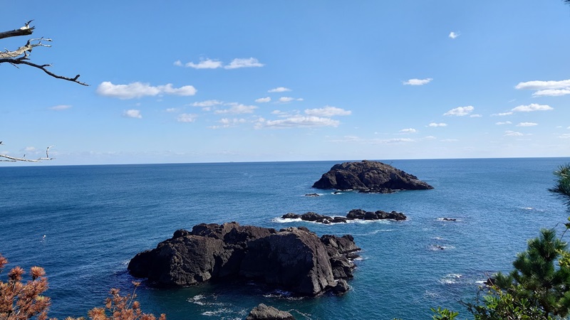
The wind was calm here as well.
There were quite a few tourists coming and going, enjoying the view.
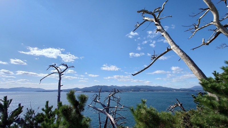
Between the pine trees, I could see the land in the distance.
The view was beautiful, but a group of riders had taken over the best spot.
I get that you want to chat and hang out, but spreading your jackets on the ground like that?
These guys were older than me, too—just regular dudes, not even the rowdy type.
It’s frustrating when even bikers who don’t look tough still forget about basic manners.
Anyway, shaking that off, I decided to take a different route home, choosing a slightly more hidden path, a bit off the main road.
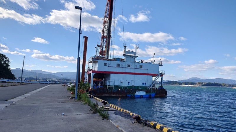
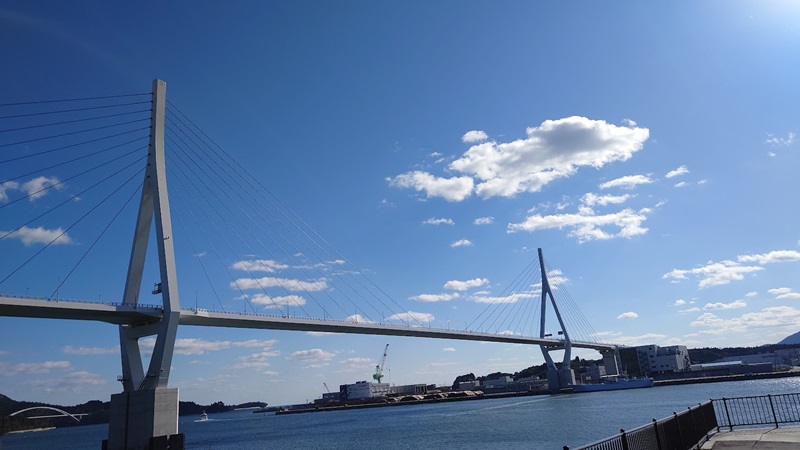
Ride Route 346 from one end to the other
For the ride back from Kesennuma, I decided to take the local roads instead of the highway.
I headed south using Route 346, which starts in Kesennuma City.
That said, there are parts where it overlaps with Route 45, so it doesn’t really feel like you’re on Route 346 until you get to the junction with Route 45, around the Motoyoshi Tsuchiya IC area.
By the way, if you want to ride from the official start to the end of Route 346, the southern starting point is at Kōtōdai Park in Sendai City, so you’d want to start there.
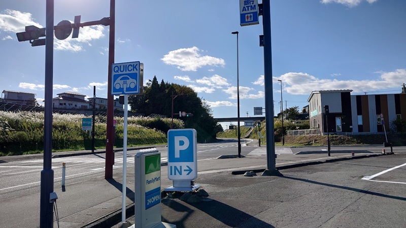
A friend of mine who used to work as a logistics driver told me that Route 346 is nicknamed “Sanshiro” because of the numbers.
Like Route 45, it’s used as a main thoroughfare connecting Sendai and Kesennuma.
Personally, I tend to use it when I’m heading north on a touring ride but don’t feel like taking the highway—it just lacks that sense of adventure.
Plus, Route 4 and Route 45 are a bit too mainstream.
Route 346 doesn’t have any particularly thrilling winding sections, but it’s perfect for a relaxed ride.
The road is lined with the kind of nostalgic, rural landscapes that really capture the essence of Tohoku.
If you’re in the mood for a laid-back cruise, this is the way to go.
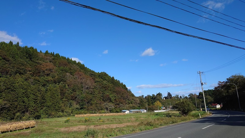
Another nice touch is how the little stream runs alongside the road.
I guess, technically, the road was probably built to follow the stream rather than the other way around.
Either way, it adds a charming, rustic vibe to the ride.
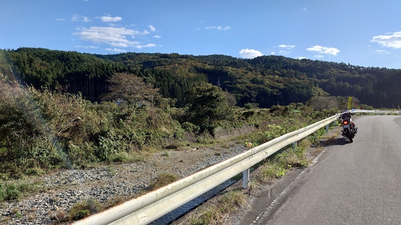
The stream changes its character as it goes—sometimes a gentle babbling brook, other times a rushing torrent—and eventually it merges into a larger river.
Route 346 kind of has the same vibe, constantly shifting and flowing as you go.
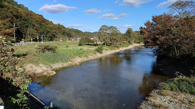
As you keep heading south, Route 346 eventually merges with Route 45 around the Sanriku Expressway Matsushima-Kita IC.
Technically, that’s where Route 346 officially ends (or begins, depending on your perspective).
For the sake of the journey, it makes sense to count the intersection near Matsushima-Kita IC as the goal or starting point.
Seems like a fitting spot to mark the end of the ride.
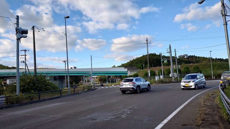
And with that, today’s touring comes to an end.
I set out a little after 9 AM and made it back home around 4 PM.
When I checked the odometer, it showed a perfect 300 km—a miraculous round number!
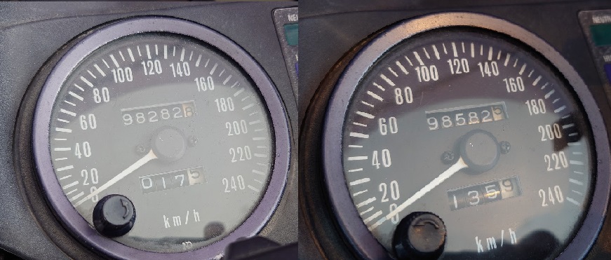
There’s a term called “distance freak” where the actual distance feels way off from what you planned, but it really depends on the route and how you ride it.
Today’s takeaway? Definitely be prepared for the cold.
I was on the road from morning till almost evening, and just wearing a hoodie and a leather jacket wasn’t enough.
Even before sunset, just hitting a shady spot made the cold feel twice as bad.
It might feel a bit hot during the day, but it’s way better than freezing your ass off later on.
Better to err on the side of warmth.
